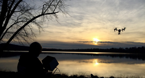
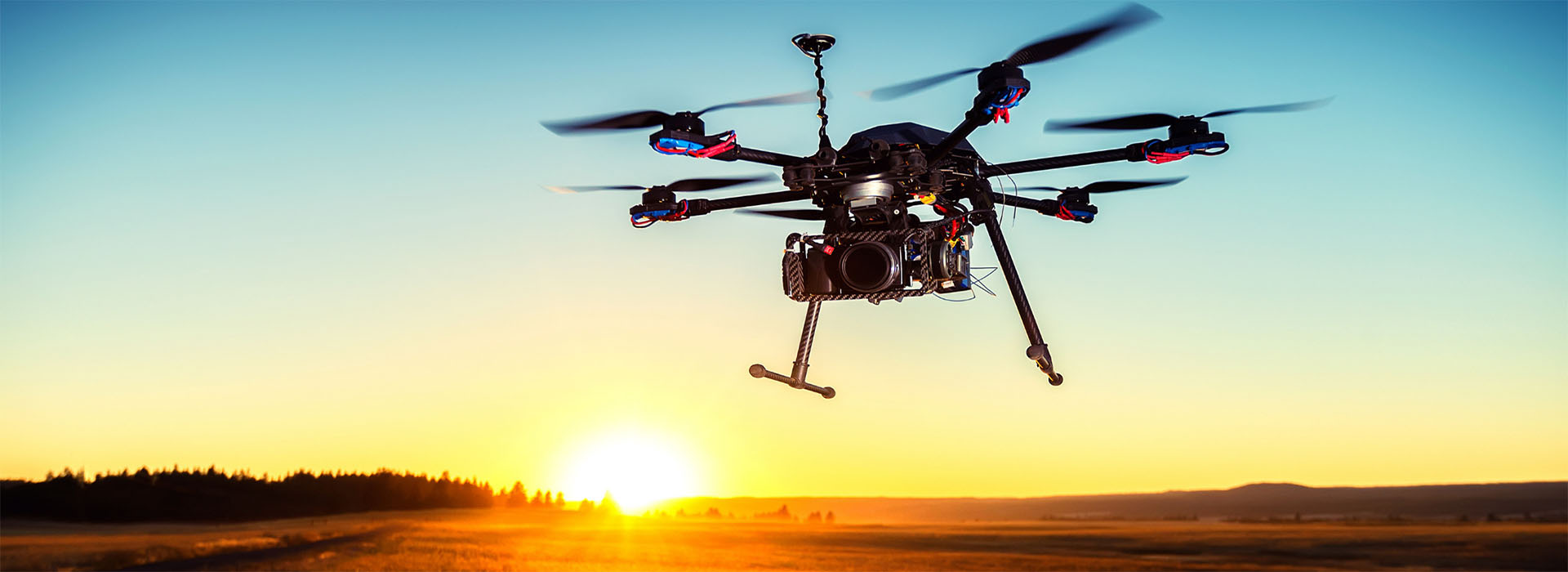

We are SkyScan
SkyScan leverages smartdrones as-a-service, equipped with a broad range of on-board multi-spectral devices for mission critical operations.
The data captured from our vehicles are connected in real-time with SkyScan's Intelligence Platform - builds upon machine learning, artificial intelligence and data analytics.
Our solutions empower organizations with crucial insights, leverages the resulting intelligence and helps them anticipate, respond and take actions.
SDaaS - SmartDrone-as-a-Service
Our solutions help organizations by capturing large amounts of information from our multi-platform unmanned aerial vehicles, using analytics to glean insights from the information, and leveraging the resulting intelligence to help them act in real time and make the world a safer place.
Our priority is architecting the best solution to meet the needs of each client, delivering speed-to-value solutions for ongoing savings, growth and disruption - Anywhere and Anytime.
SkyScan's commitment to continuous technological innovation ensures that our customers stay ahead of ever-evolving security threats.
Risk Identification & Management
The revolutionary SkyScan AI solution captures and analyzes all of your events to put them to work for you. Managing videos and data brings challenges to customers who need to identify and respond to threats and incidents. SkyScan AI Platform is purpose-built for mission-critical, highly dispersed and complex security environments.
Real-Time Monitoring & Inspections
Project delays, systems failures and a growing number of accident-related legal cases may lead to cost overruns. SkyScan's technology can enable companies to quickly detect deficiencies and risks associated with investments, allowing rapid intervention thus minimizing additional budget expenditure.
Surveillance
SkyScan's multi-platform unmanned aerial vehicles offer cost-efficient surveillance of infrastructure investments. Thanks to special sensors, they not only capture the current state but also provide analysis of numerous factors. Our technology can cut labour costs significantly, as aerial operations can down size ground-based teams.
LiDAR - 3D Laser Scanning
SkyScan's LiDAR solutions creates high-precision 3D models that measure elevation, volume and density, delivering a new level of results that drives effective decisions and insights for greater precision and cost-savings projects.
Asset Management
SkyScan's UAV can capture and stores images and videos in real time at the point of action and directly updated in the back end of SAP Plant Maintenance (PM), SAP Customer Service (CS) modules and IBM Maximo system.
Surveying & Mapping
SkyScan's platform allows surveyors and mappers to collect unlimited aerial data and precise measurements to support critical processes such as stock pile volume measurements, terrain mapping, site planning and more, while saving time, money and manpower.
Our Expertise
We believe that strategy is only as strong as the output it creates.
SkyScan can eliminate repetitive work from employees by improving automated processes in order to free up resources for more productive tasks.
Our platform can deploy and manage tethered aerial vehicles, enabling the vehicles to remain in position for given missions.
SkyScan's mission-critical unmanned aerial vehicles create a whole array of new opportunities for companies involved in many industry sectors.

Environmental Protection
The SkyScan Environmental Protection offering was tailored specifically for rapid deployment on any situation and can be ready in minutes. When it comes to Environmental Protection, minutes can be the difference and our first responders solutions can cover large areas much faster than ground crews.
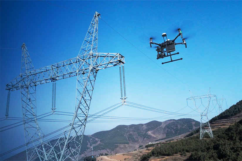
Transmission Lines
SkyScan's UAVs equipped with thermal and infrared cameras can be extremely beneficial, by sending real-time imaging from the aerial perspective, allowing engineers to identify hot spots and inspect right of way (ROW) encroachment. Vegetation, construction and other encroachments can impact line operation.
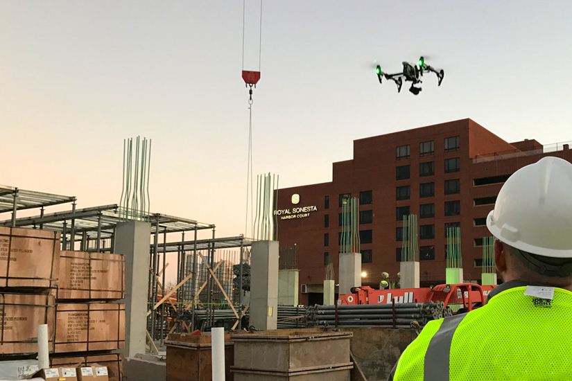
Construction Sites
Construction projects rely on efficiency and status updates to stay on schedule. Material stockpiles need to be closely monitored to ensure sufficient supply. Save time and money by eliminating labor costs through a combination of UAV technology and advanced photogrammetry technologies.
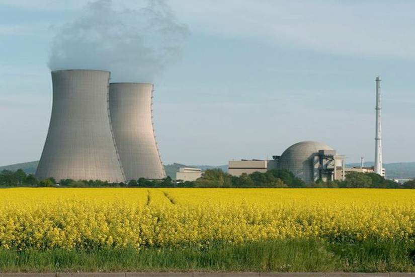
Critical Infrastructures
SkyScan's UAVs work in Critical Infrastructures by making inspections cheaper, faster and safer with greater precision and better access to hard-to-reach places. We perform inspections without having to halt the power supply, awarding financial incentives to companies that improve reliability.
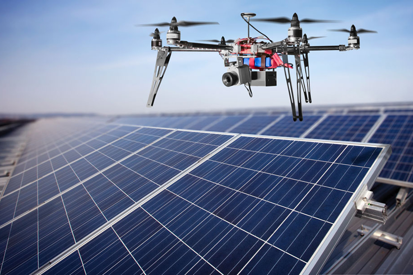
Solar Fields
Our UAVs - Unmanned Aerial Vehicles, can be used in monitoring and maintenance of all types of solar fields, and thanks to SkyScan's special sensors, we do not only capture the current state but also provide analysis of numerous factors influencing the facility operations.
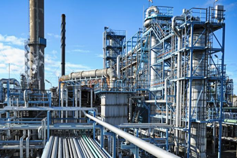
Plants and Facilities
SkyScan's unmanned aerial vehicles can provide surveillance, maintenance, monitoring and inpections of assets spread across a vast area, accessing hard-to-reach infrastructure and execution of dangerous inspection procedures normally performed by humans, helicopters or airplanes.
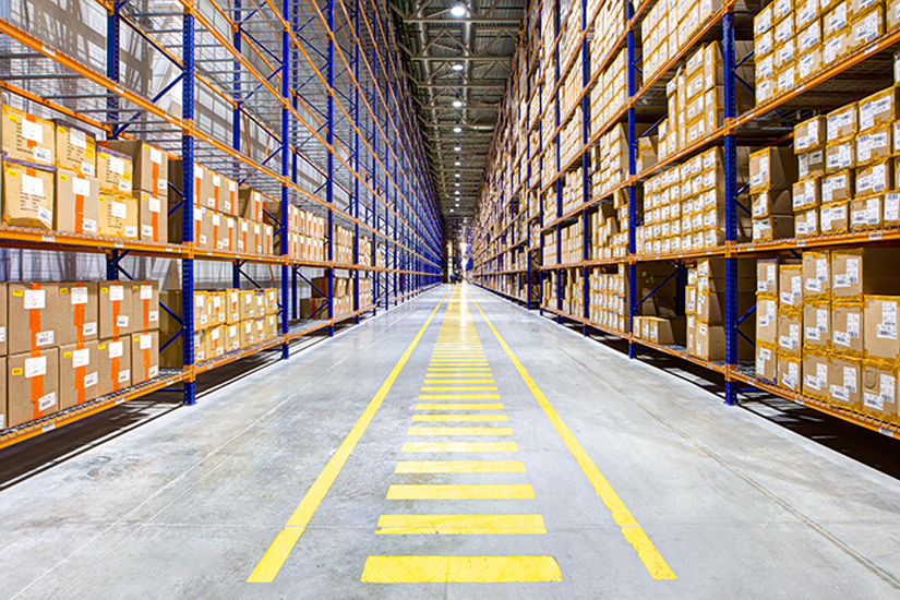
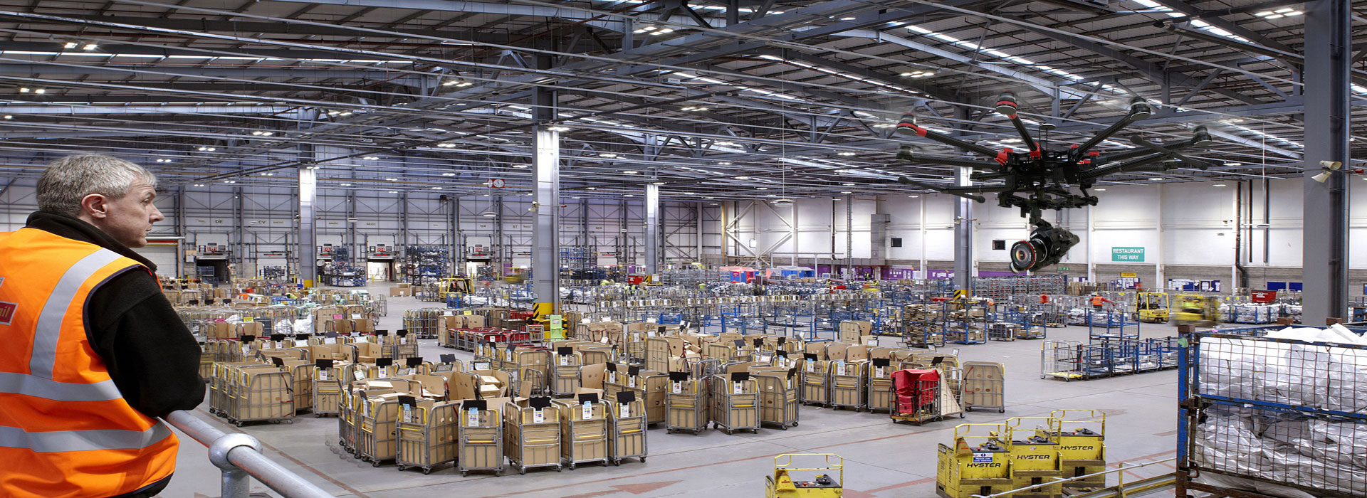
Warehouse and Distribution Centers
SkyScan's UAVs can automate goods, scan labels, RFID tags and locations inventory in indoor or outdoor warehouses. It connects all points in the supply chain, triggers alerts and integration with warehouse management systems. Besides, sensors monitoring can be attached for thermal, humidity, fluids and many others.
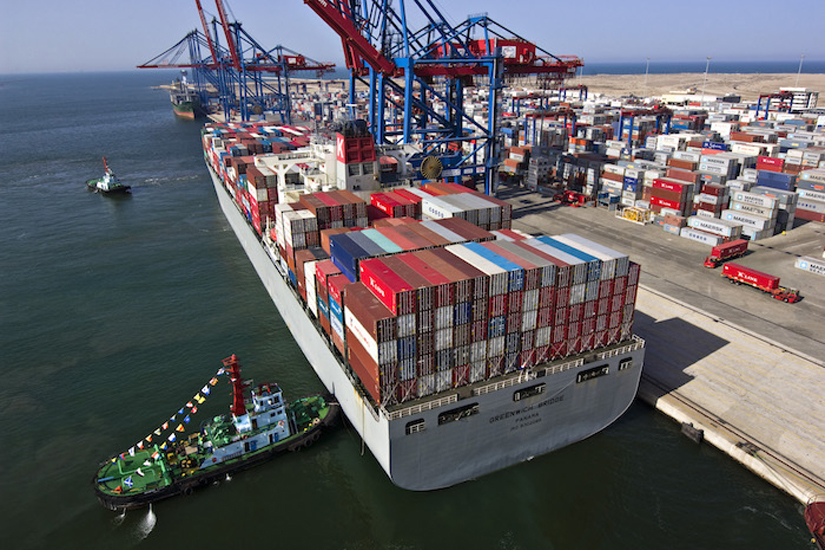
Sea Ports and Container Terminals
With an in-depth understanding of the challenges seaports face in attempting to monitor ground and sea traffic, port safety and emergency response, besides cargo movement and storage, the SkyScan's solution connects seaport operators directly with concise and actionable aerial data.

Pipeline Transportation
SkyScan's automated platform provides high quality aerial data for all inspection and maintenance requirement, in a safer, more efficient manner, without causing operational down time. This innovative, consistently available aerial perspective of operations, supporting emergency response, infrastructure inspection, security and surveillance.
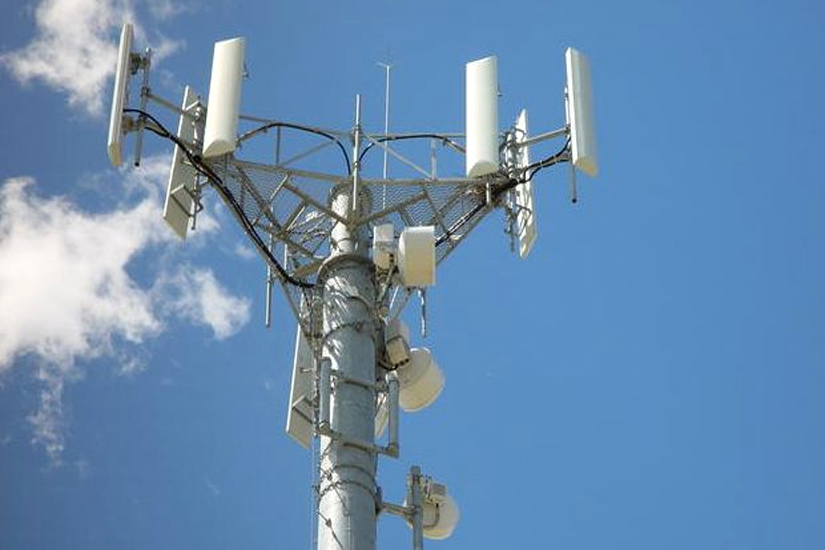
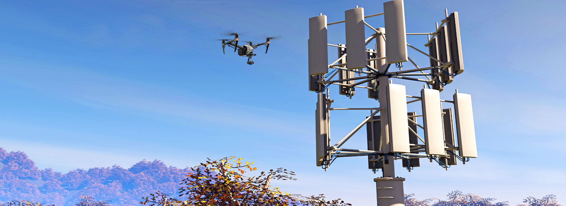
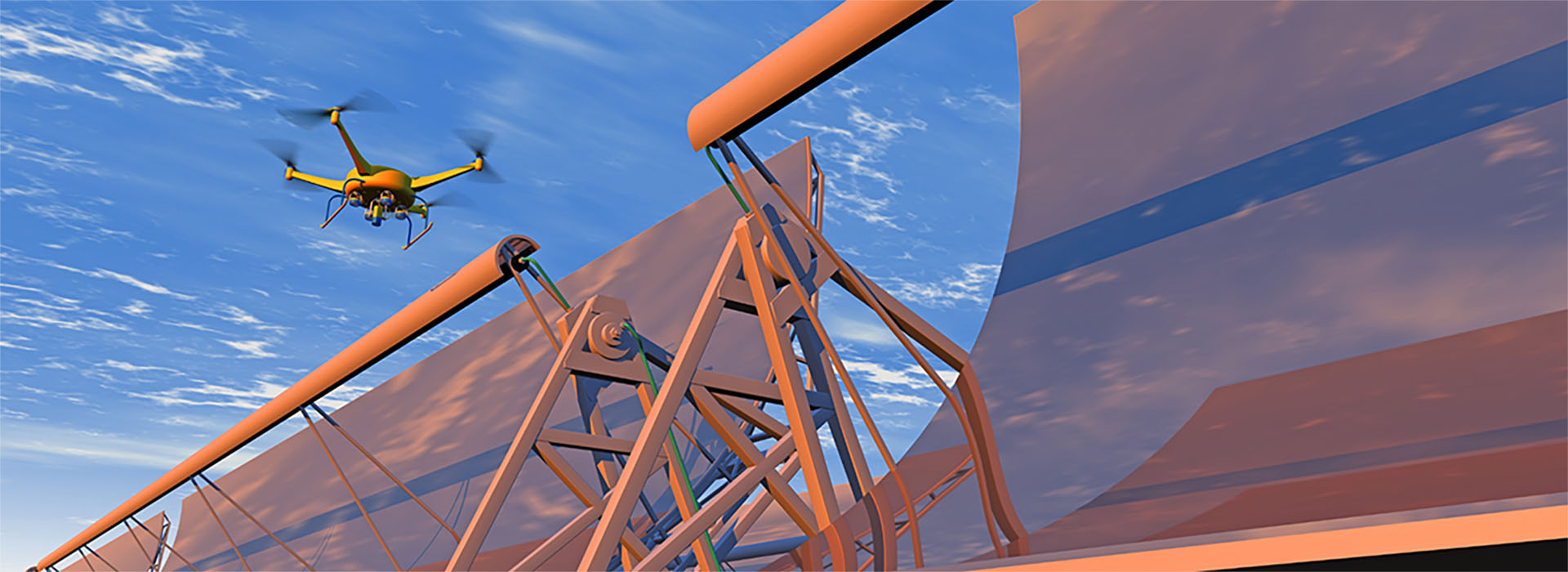
Tower Antennas
SkyScan's end-to-end solutions empower owners, climbers and tenants to inspect infrastructure safer, faster and less expensive than was ever previously possible. We perform drone inspections on wireless towers, broadcast towers and infrastructures at close range and from every angle, with detailed audit and inspection, without putting anyone on a harness.
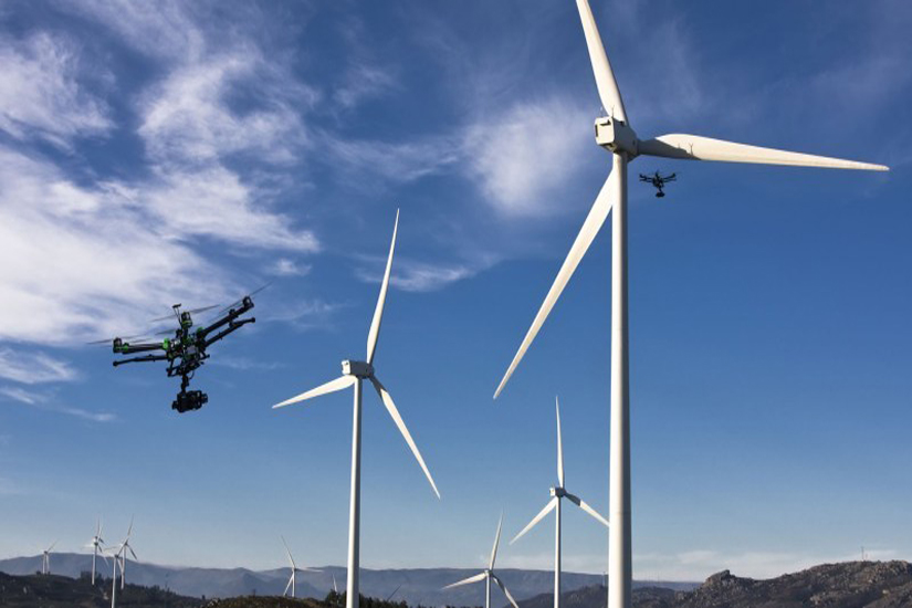
Wind Turbines
SkyScan's UAVs can bring major benefits like inspection and surveying both onshore and offshore wind farms. It is mandatory to maintain and inspect each and every turbine on a regular basis. These turbines wear out over time due to constant spinning and regular inspection increases their efficiency and prevents dangerous accidents.
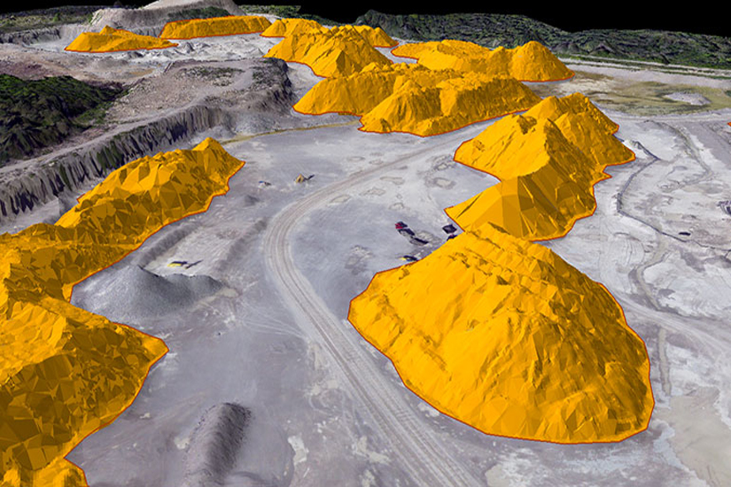
Stockpile Management
SkyScan's stockpile volumetric measurement is quick, safe and less expensive than traditional survey and measurement methods. Accurately measuring stockpile volumes historically has been a complicated, time consuming, costly and labor-intensive process oftentimes subject to significant variances and unreliable accuracy.
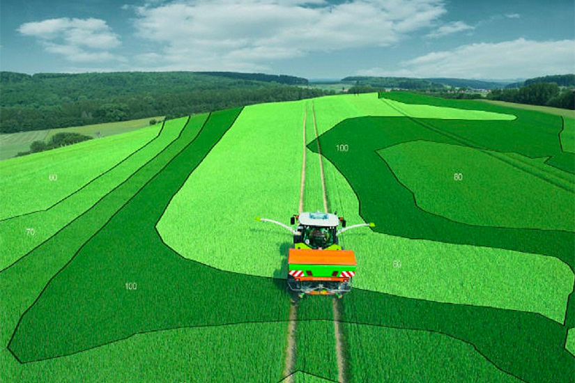
Precision Agriculture
SkyScan's solutions enhance agronomic decision making with precise data and powerful analytics. Our solutions growers can increase crop yields,quickly find and address crop disease, infestation, or poor irrigation, leverage topographical, thermal and spectral mapping, perform soil & field analysis, plant more efficiently and manage irrigation with a comprehensive and accurate lay of the land. Reliable, Repeatable, Strategic Solutions that Boost your Bottom Line.
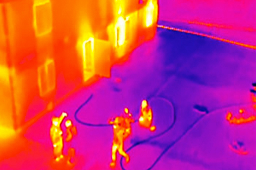
Fire and Rescue
SkyScan's UAVs equipped with thermal and infrared cameras can be extremely beneficial for firefighters, by sending real-time thermal imaging from the aerial perspective, allowing Incident Command to see through smoke and hot spots or direct and monitor Rescue Companies during entry. Deployable in seconds, our equipments can assess the entire scene quickly, safely and effectively, often well before other vehicles arrive.

Forest Management
SkyScan's analysis platform improve forest management processes on multiple levels by determining plant population, tree stocking levels, inventory, trees distribution across landscape, seedling survival rate and monitor trees performance. Our reports brings trees counts in total and also break down by specific area, helping to ensure stable growth and maximize profits. We create actionable insights that drive costs down and improve performance.
Our Technology
eDronik - SkyScan Intelligent Platform
Skyscan drones capture content. Our Intelligent analytics platform deliver value.
WHAT MAKES US THE #1 INTELLIGENT PLATFORM

Process Automation
Process management that automate repetitive processes at scale both on-premise and in the cloud

Artificial intelligence
Leverage AI and machine learning to learn from customer behavior and bring structure to unstructured data

Embedded Analytics
Embedded analytics that measure and predict how both Drones and the business are performing
eDronik - SkyScan Intelligence Platform
It is the driving force behind of our multi-platform unmanned aerial vehicles.
It empowers organizations with crucial insights and enables them to anticipate, respond, and take action.
Quick retrieval of relevant images and redaction of sensitive information is a challenge without the latest video analytic tools to automate labor-intensive tasks.
Our platform has six components:
Capture
- SkyScan autonomous unmanned aerial vehicles can live-stream high-definition, infrared video, telemetry data as well as take detailed high-resolution images, which are captured in real-time.
Extract
- Facilitates the process of taking data, cleansing, fusing, and preparing. Powers new forms of content discovery such as searching for faces, events and characters, besides extracting visual and speech metadata.
Validate
- Our processes and technologies are involved in ensuring the conformance of data values, consistency, timeliness and accuracy to business requirements and acceptance criteria for appropriate use.
Analysis
- Supports the use of analytical engines and artificial intelligence technologies including classification, correlation, anomaly detection, identity extraction, behavioral analysis, and predictive analytics.
Integrate
- Full Integration of the data into existing backend Workflow Process, Business Process Management - BPM, Work Orders, Geographic Information System - GIS, Mapping Software, Asset Management, etc.
Dispatch
- Automates crucial insights from the data to decision makers and central stations. Triggers workflows, notifications, alarms and dispacth systems, so they can act in real time.
Our Company
SkyScan Systems is a leader in autonomous intelligence solutions using multi-platform unmanned aerial vehicles.
SkyScan is built on five core values that shape the way we do business with our customers, our partners, and each other. They express the company we want to be, from the people we hire to the way we design our products, and in the decisions we make every day.
- The integrity to do what's right.
- The innovation to create leading solutions for real-world challenges.
- A passion for making our customers and partners successful.
- The transparency that fuels trust and productive working relationships.
- View of our successes as milestones, and our mistakes as opportunities for improvement.